Land & Topographic Surveying
We specialize in precise land and topographic surveying services, helping businesses, developers, and governments make informed decisions based on accurate spatial data.
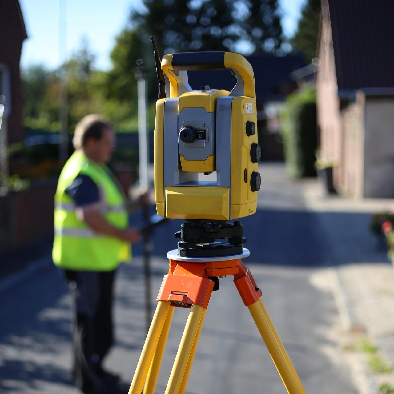
Land Surveying & Site Analysis
Our land surveying services provide accurate measurements and mapping for construction, land development, and infrastructure planning. We use state-of-the-art equipment and geospatial technology to deliver high-precision surveys that support engineering and real estate projects.
- Boundary & Property Surveys – Define legal property lines and resolve land disputes with precise boundary mapping.
- Site Development Surveys – Conduct in-depth site analysis for construction, zoning, and infrastructure projects.
- Aerial & Drone Surveys – Capture high-resolution aerial data to enhance terrain modeling and project planning.
Topographic Mapping & Terrain Analysis
Topographic surveys provide detailed elevation data and terrain mapping to support construction, environmental studies, and infrastructure planning. Our team utilizes GPS, LiDAR, and GIS-based technology to create accurate 3D models of landscapes, ensuring that projects are planned with a complete understanding of the terrain.
- Elevation & Contour Mapping – Generate high-resolution contour maps and digital terrain models (DTMs).
- Infrastructure & Utility Mapping – Identify underground utilities and existing infrastructure for safe project execution.
- Flood & Environmental Risk Assessment – Use topographic data to assess flood zones and environmental risks for sustainable development.