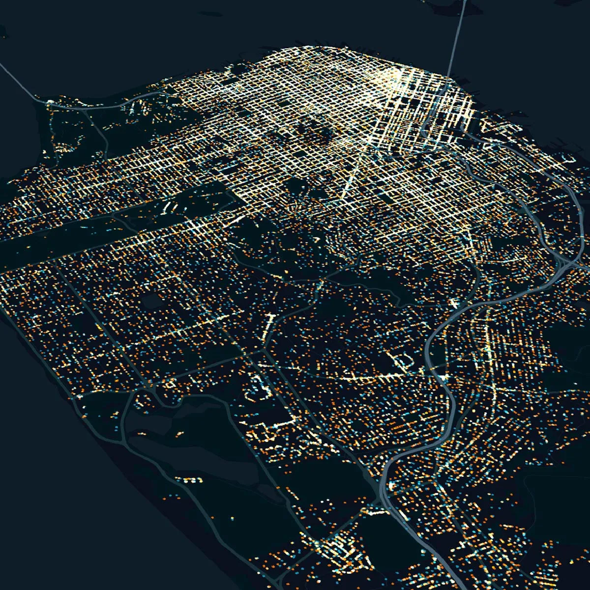
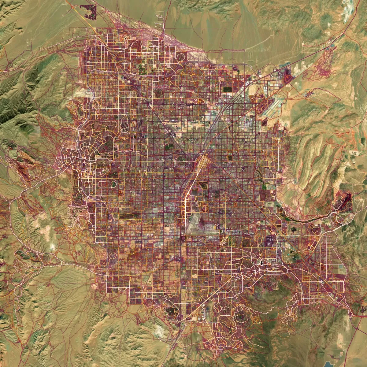
We specialize in Geographic Information Systems (GIS), cartography, and spatial data analysis to deliver high-quality maps, geospatial insights, and location-based intelligence for businesses and government projects.
Our team provides precise land surveying, boundary mapping, and terrain analysis for engineering, construction, and infrastructure development.
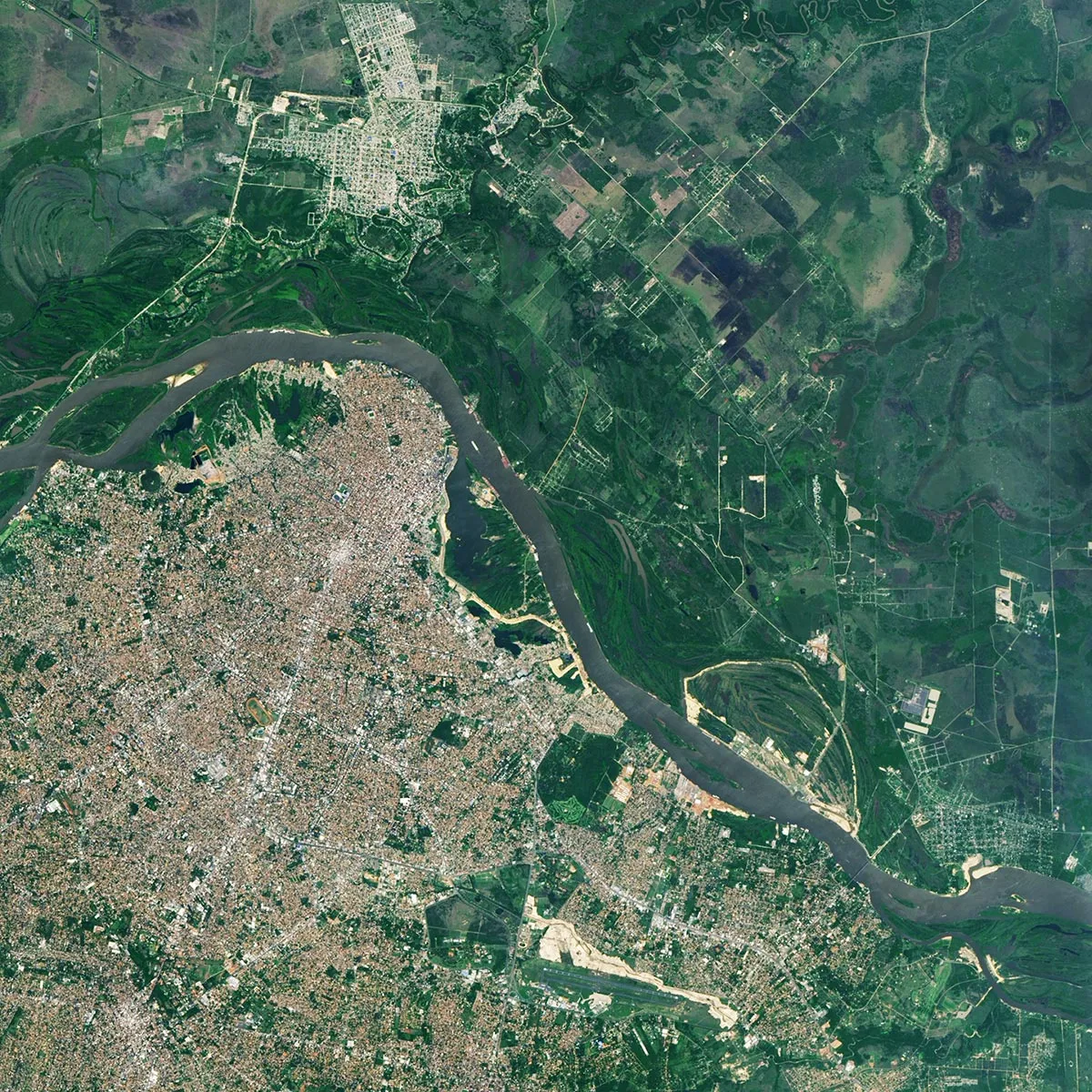
We provide data-driven environmental solutions to ensure compliance, sustainability, and responsible resource management.
Expert guidance in geospatial strategy, environmental compliance, land development, and GIS implementation for government and private-sector projects.
Transform raw geospatial data into actionable insights using advanced analytics, AI, and big data processing.