Our expertise spans oil & gas, pipelines, renewable energy, mining, municipal development, transmission corridors, and large-scale infrastructure projects.
At MapCom, we provide advanced geomatics and surveying services that support infrastructure, energy, environmental, industrial, and land development projects across Iraq and the region. Since 2006, our experienced team has delivered accurate spatial data, engineering-grade surveys, and integrated geospatial solutions for government entities, private companies, and international organizations.
By combining modern surveying technologies, experienced field teams, and internationally aligned workflows, we help clients reduce risk, improve efficiency, and make confident project decisions from planning through final delivery.
MapCom combines traditional surveying expertise with cutting-edge spatial technologies to deliver reliable, accurate, and scalable geospatial solutions.
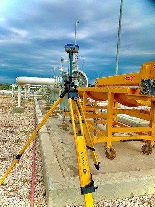
MapCom delivers integrated geomatics and surveying solutions for oil & gas projects, supporting planning, regulatory compliance, construction, and operational activities. Our services combine field surveying, GIS technologies, and spatial intelligence to ensure safety, accuracy, and project efficiency.
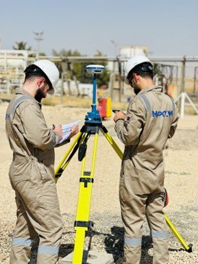
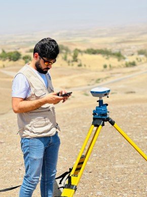
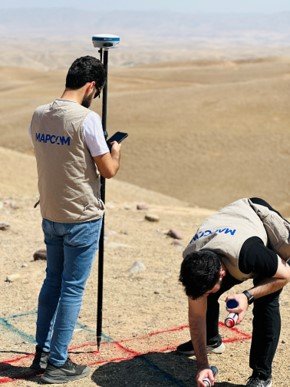
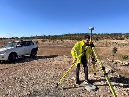
We provide high-accuracy GNSS static surveying services to establish reliable horizontal and vertical control networks for infrastructure, engineering, and construction projects.
MapCom has completed thousands of kilometers of pipeline corridor surveys across Iraq and the region. Our pipeline surveying services support the entire lifecycle of pipeline infrastructure projects — from route selection and feasibility studies to construction monitoring and final as-built documentation.
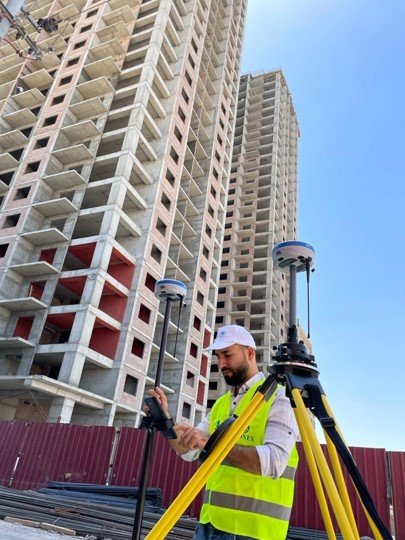
Our construction surveying services support projects from site preparation to final handover. Using advanced spatial technologies and engineering-grade workflows, we ensure precise layouts, accurate measurements, and reliable construction verification.
MapCom supports power transmission, utility corridors, and infrastructure developments with integrated surveying and geomatics solutions.
We provide integrated surveying and geospatial services for renewable energy projects including solar farms, wind energy facilities, and hydropower developments.

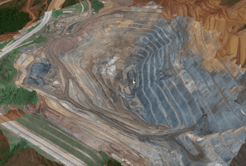
MapCom delivers spatial intelligence and geomatics solutions supporting mining operations from early exploration to active production and long-term asset management.
We support municipalities, developers, and infrastructure projects with accurate land development and construction surveying services across all stages of development.

Our team combines local expertise with international experience to deliver reliable surveying and geospatial solutions across Iraq and the region.
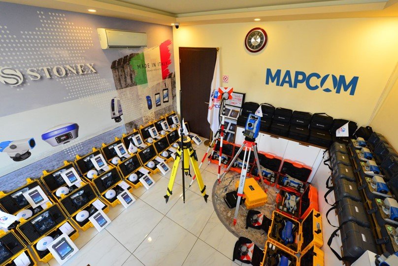
We utilize modern surveying equipment, UAVs, LiDAR, GIS platforms, GNSS systems, and laser scanning technologies to ensure accuracy and efficiency.
We support oil & gas, utilities, municipalities, renewable energy, mining, infrastructure, and land development sectors with tailored solutions.
Our workflows align with international standards, QA/QC practices, and regulatory requirements to ensure dependable project delivery.