Our cloud-based workflows support environmental monitoring, infrastructure planning, agriculture, disaster management, urban development, energy, and scientific research projects across Iraq and the region.
MapCom provides professional Mining Services that support mineral exploration, geological modeling, mine development, infrastructure planning, and operational monitoring.
Using advanced surveying technologies, GIS, remote sensing, UAV mapping, LiDAR, and geological modeling workflows, we help mining companies improve decision-making, reduce operational risk, and optimize exploration and production activities.
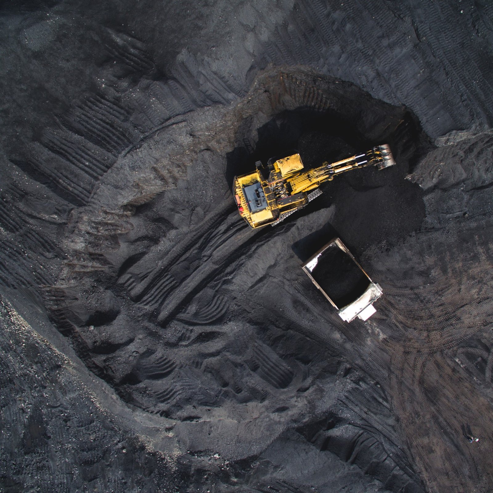
MapCom combines geospatial intelligence with geological analysis to create accurate and data-driven mining workflows.
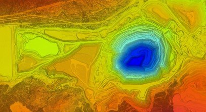
Advanced Geological Interpretation & Visualization
MapCom develops accurate and dynamic 3D geological models that support exploration planning, resource evaluation, and mine engineering.
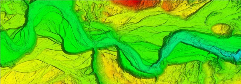
We combine surveying, geology, GIS, remote sensing, and engineering workflows into a unified mining solution.
Our mining services utilize advanced UAV, LiDAR, GNSS, and GIS technologies for reliable field and analytical results.
We support projects ranging from early exploration to large-scale mining operations.
Our team delivers technically accurate and operationally reliable mining support solutions.
Whether you require geological modeling, exploration analysis, mining surveys, or spatial intelligence solutions, MapCom delivers reliable and professional mining services tailored to your operational goals.