By combining modern GNSS technologies, RTK correction infrastructure, and experienced technical support, we help clients achieve greater accuracy, productivity, and operational efficiency in the field.
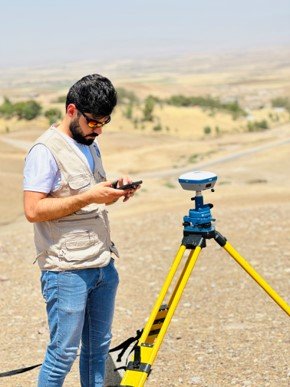
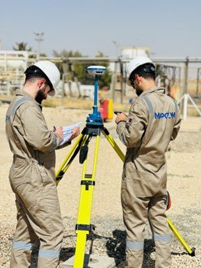
At MapCom, we provide advanced GNSS (Global Navigation Satellite System) solutions and high-precision positioning services that support surveying, engineering, mapping, construction, utilities, oil & gas, and infrastructure projects across Iraq.
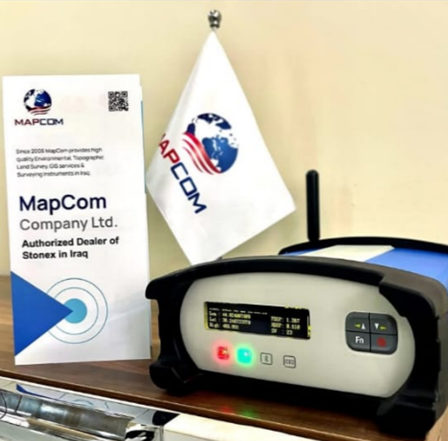
Since 2019, MapCom has proudly served as an authorized dealer of Stonex GNSS and surveying equipment in Iraq, delivering reliable geospatial technologies, local technical expertise, and responsive support services to government agencies, engineering firms, contractors, and survey professionals.
MapCom is an officially authorized distributor of Stonex surveying and positioning equipment, providing access to industry-grade GNSS and geospatial solutions tailored to the Iraqi market.
We support clients throughout all regions of Iraq with equipment supply, consultation, configuration, training, and ongoing technical support.
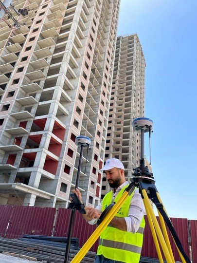
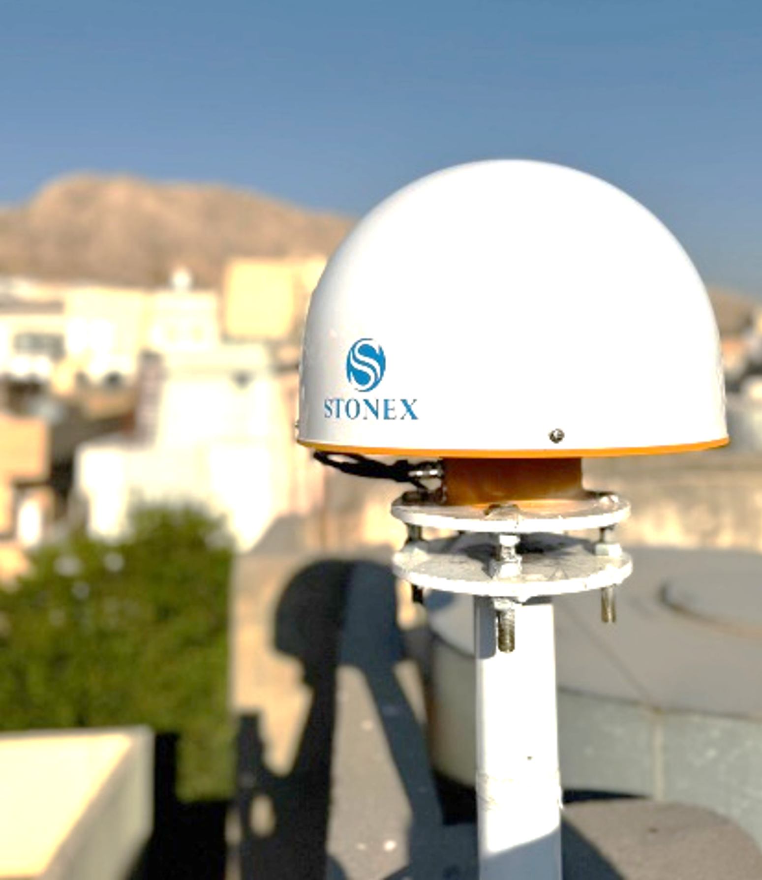
We provide a complete range of Stonex surveying technologies and positioning systems for professional field operations.
At MapCom, we do more than supply equipment — we provide complete technical support and operational guidance to ensure optimal project performance.
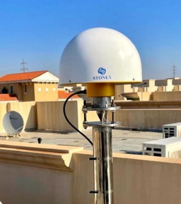
MapCom has established a nationwide CORS (Continuously Operating Reference Station) network strategically distributed across Iraq to support real-time, high-precision GNSS positioning.
Our CORS infrastructure enables surveyors, engineers, GIS professionals, and construction teams to access reliable correction data for RTK, PPK, and static surveying applications.
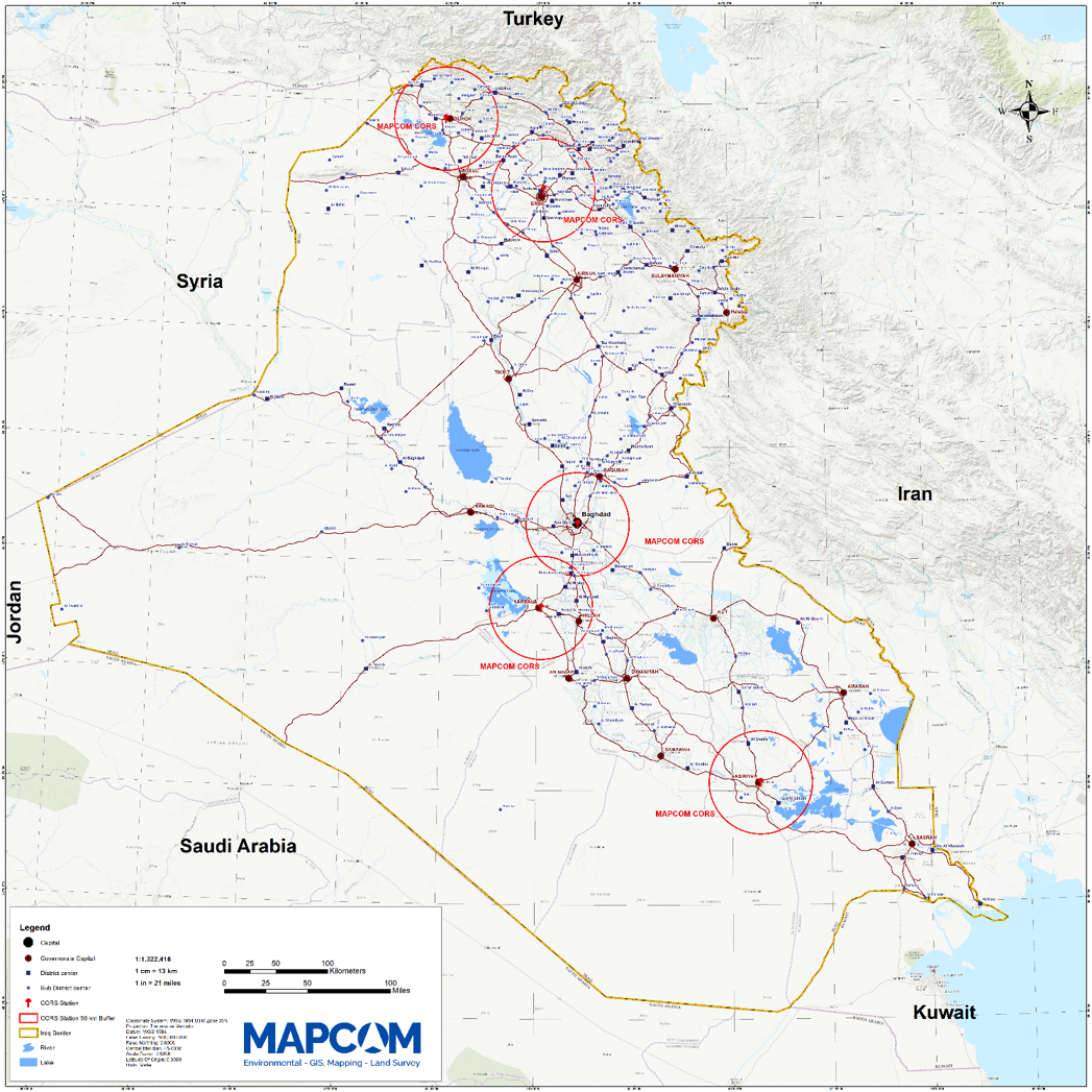
To ensure reliable positioning accuracy, MapCom utilizes advanced Stonex CORS technologies including:
Our GNSS and RTK correction services support a wide range of industries and field operations.
By utilizing MapCom’s nationwide CORS network and GNSS technologies, clients benefit from:
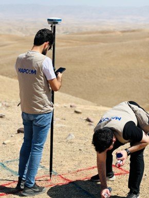
Our team combines local expertise with international experience to deliver reliable surveying and geospatial solutions across Iraq and the region.
We utilize modern surveying equipment, UAVs, LiDAR, GIS platforms, GNSS systems, and laser scanning technologies to ensure accuracy and efficiency.
We support oil & gas, utilities, municipalities, renewable energy, mining, infrastructure, and land development sectors with tailored solutions.
Our workflows align with international standards, QA/QC practices, and regulatory requirements to ensure dependable project delivery.