Our integrated solutions support both indoor and outdoor mapping applications, enabling rapid, precise, and scalable data acquisition for projects of all sizes.
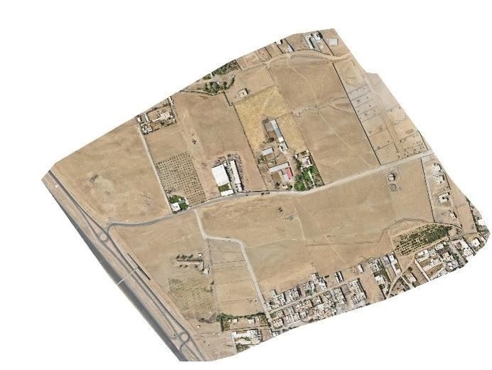
MapCom is a leading provider of UAV photogrammetry, aerial mapping, and drone survey services in Iraq and the Kurdistan Region. Using advanced drone technologies, high-performance processing systems, and industry-leading photogrammetry software, we deliver accurate geospatial data and intelligent 3D modeling solutions for engineering, infrastructure, environmental, and land development projects.
Our experienced team combines technical expertise with modern aerial survey workflows to provide fast, reliable, and cost-effective spatial data acquisition tailored to complex project requirements.
We provide integrated UAV surveying solutions designed to support engineering, construction, GIS, environmental monitoring, and infrastructure development projects.
Our drone-based workflows enable rapid data collection with high spatial accuracy while reducing field time, operational costs, and project risks.
MapCom delivers engineering-grade drone survey services for projects of all scales across Iraq and the region.
All surveys are performed according to recognized engineering and mapping standards to ensure reliable and actionable project data.
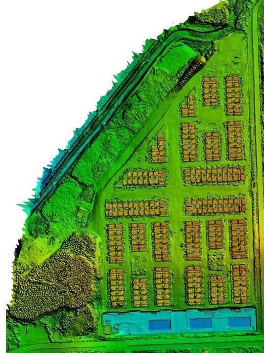
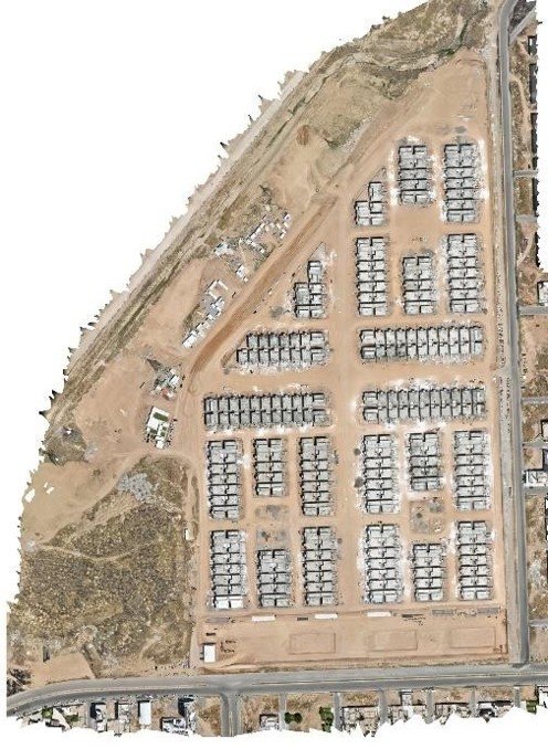
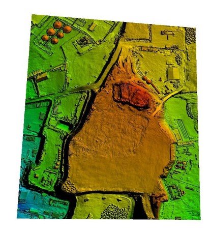
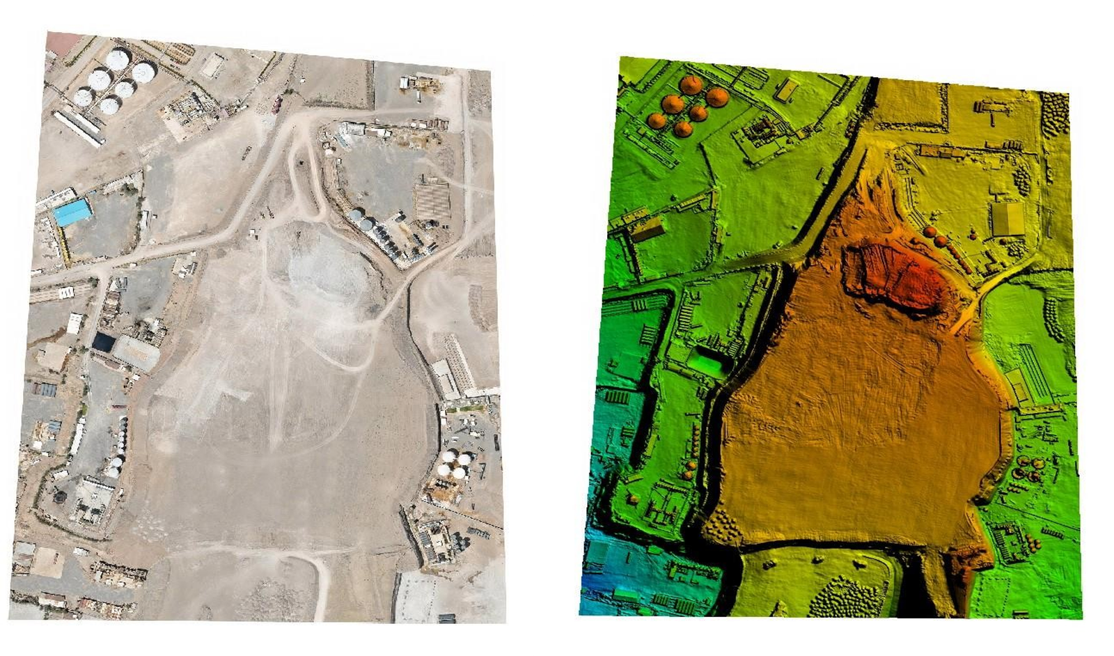
Our UAV photogrammetry workflows support advanced digital twin creation and high-resolution 3D modeling for planning, analysis, and asset management.
MapCom utilizes professional photogrammetry software and high-performance computing systems to process large aerial datasets efficiently and accurately.
Our integrated workflows ensure seamless compatibility with GIS, CAD, BIM, and engineering systems.
MapCom provides high-quality deliverables optimized for engineering, planning, construction, and geospatial analysis applications.
MapCom offers professional drone operation and aerial mapping training programs designed for engineers, surveyors, GIS specialists, and technical professionals.
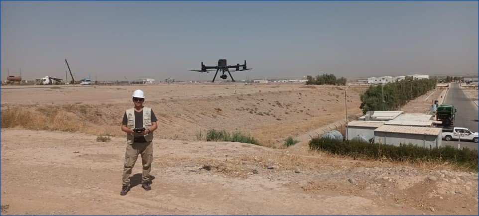
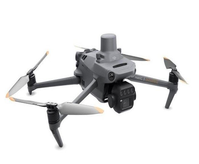
We use modern UAV platforms, RTK positioning systems, and professional photogrammetry software to ensure high-accuracy results.
Our aerial surveys support critical engineering, infrastructure, and construction projects requiring reliable geospatial data.
Drone surveys significantly reduce field time while improving safety, coverage, and operational efficiency.
All deliverables are optimized for GIS, CAD, BIM, and digital engineering environments.