Our integrated workflows allow field teams to simultaneously detect buried assets and generate survey-grade digital utility maps with engineering-level precision.
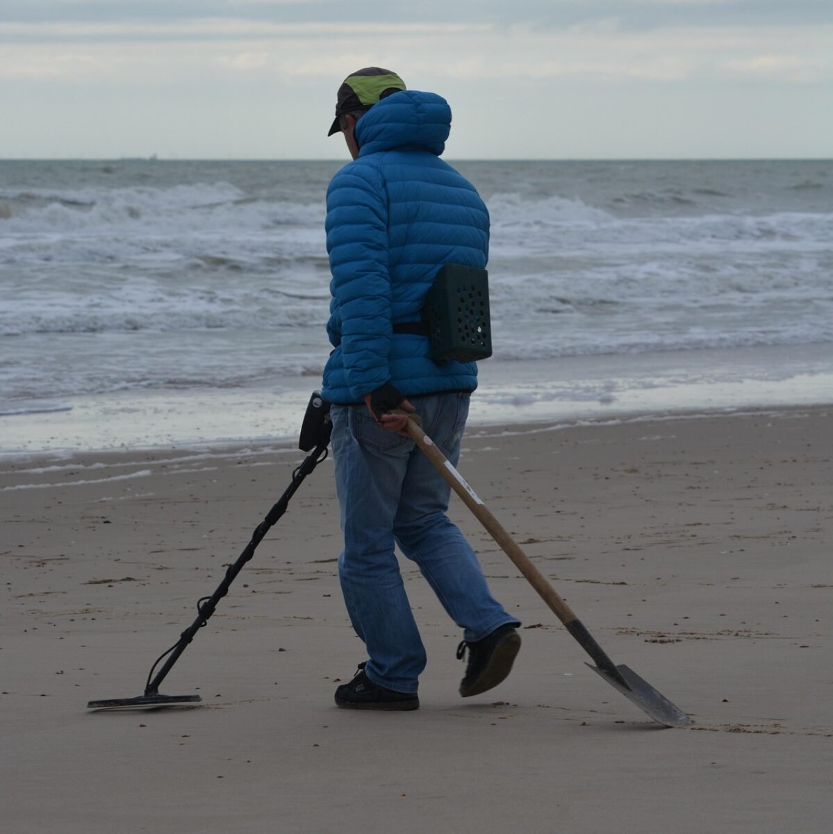
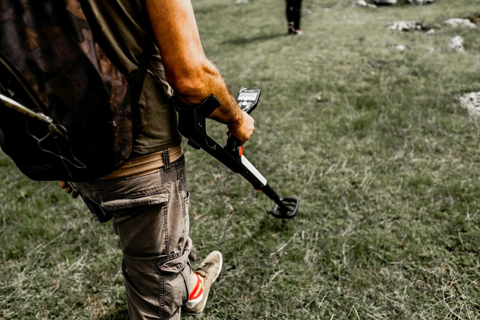
MapCom provides professional Radio Detection and Buried Utility Mapping services designed to accurately locate underground utilities, pipelines, cables, and subsurface infrastructure without excavation.
By combining advanced Radio Detection (RD) technologies, Ground Penetrating Radar (GPR) systems, and survey-grade GNSS positioning, we deliver highly accurate underground mapping solutions that improve project safety, reduce excavation risks, and support smarter infrastructure planning.
Accurate utility detection is essential for construction, municipalities, infrastructure projects, oil & gas facilities, and urban development.
MapCom’s underground investigation services help clients safely identify hidden utilities and avoid costly utility strikes, project delays, and operational disruptions.
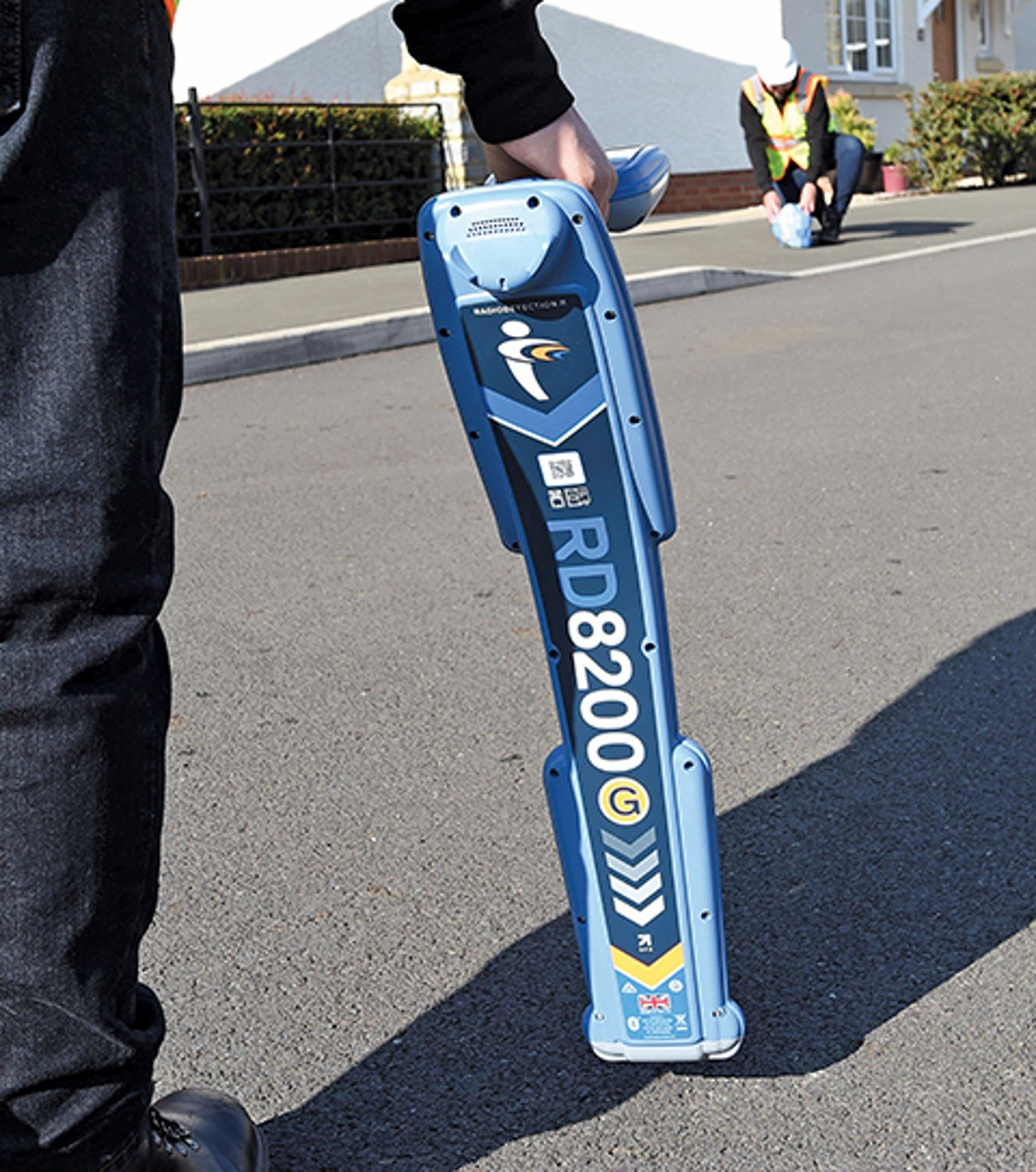
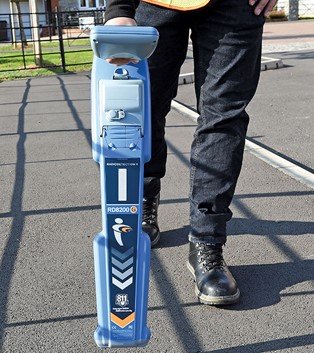
MapCom utilizes advanced RD8200SG utility locating systems integrated with high-accuracy GNSS positioning for real-time mapping and underground asset detection.
Our integrated locating and mapping workflows combine utility detection and geospatial data collection into a single efficient operation.
We combine Radio Detection, GPR, and GNSS positioning to deliver comprehensive underground investigation solutions.
All utility mapping deliverables are optimized for CAD, GIS, and digital infrastructure systems.
Our professionals combine field expertise with advanced geospatial and underground mapping capabilities.
MapCom supports infrastructure, utility, engineering, and construction projects across Iraq and the Kurdistan Region.