By transforming raw geospatial data into actionable intelligence, we help organizations improve planning, reduce risk, and make informed strategic decisions.
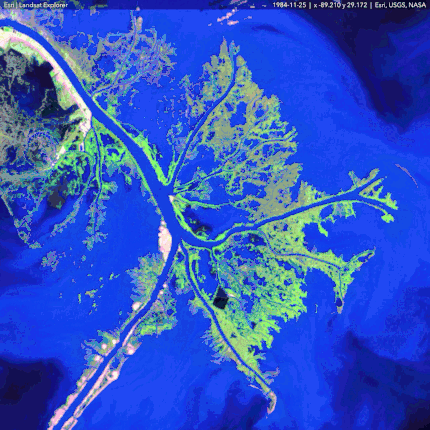
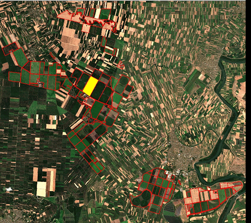
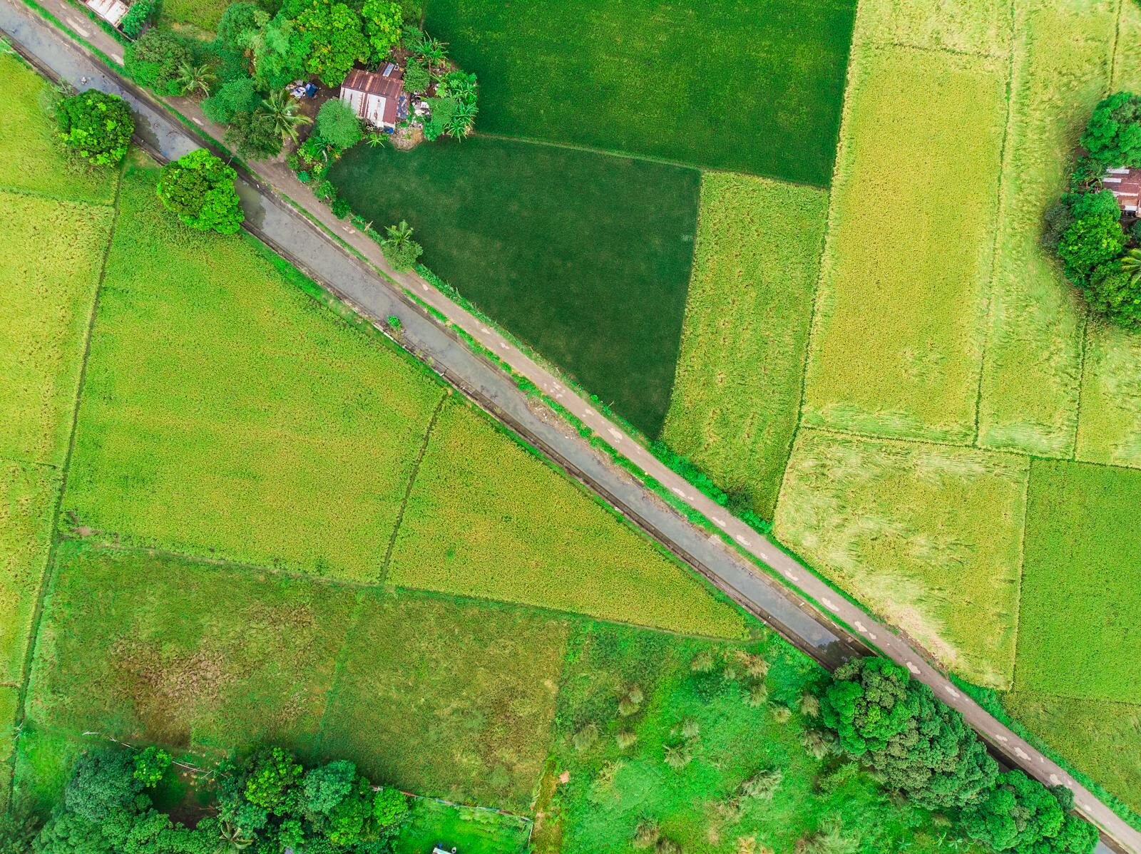
MapCom provides professional Remote Sensing & Earth Observation services using advanced satellite imagery, aerial mapping, drone surveys, LiDAR datasets, and geospatial analysis technologies.
Our remote sensing workflows support engineering, infrastructure, urban planning, environmental management, agriculture, energy, mining, disaster management, and scientific research applications across Iraq and the region.
MapCom utilizes modern remote sensing technologies to deliver accurate, scalable, and cost-effective spatial analysis solutions.
MapCom develops automated GIS workflows and cloud-based geospatial systems for scalable spatial operations.
We integrate satellite, UAV, LiDAR, and GIS technologies into unified analytical workflows.
Our remote sensing services support high-confidence engineering, environmental, and infrastructure decisions.
We provide solutions ranging from local engineering projects to nationwide spatial analysis initiatives.
All outputs are optimized for GIS, CAD, technical reporting, and strategic decision-making.
Whether you require satellite analysis, infrastructure monitoring, environmental mapping, or spatial intelligence services, MapCom delivers reliable remote sensing solutions tailored to your operational goals.