By integrating environmental science, meteorological analysis, GIS, and spatial modeling, MapCom delivers accurate and defensible air quality assessments for industrial, infrastructure, and urban projects.
MapCom is the first geospatial and environmental services company in Iraq to provide advanced Air Dispersion Modeling solutions for environmental assessment, industrial planning, and public health analysis.
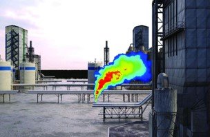
Our scientific modeling workflows simulate how pollutants travel and spread through the atmosphere, helping organizations evaluate environmental impact, improve compliance, and support safer and more sustainable development.
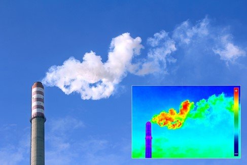
Air dispersion modeling uses advanced mathematical and atmospheric simulations to predict how pollutants move through the air over time and distance.
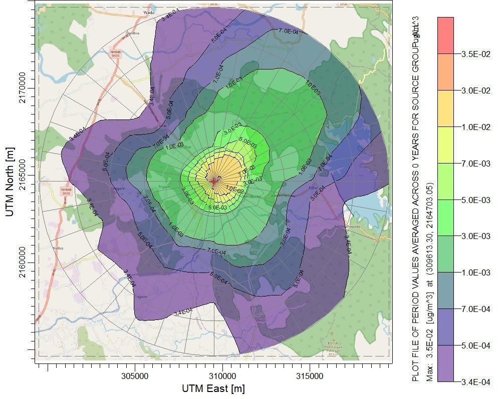
The result is a detailed understanding of pollutant concentration levels across different locations and time periods.
MapCom is pioneering advanced air dispersion modeling services in Iraq’s geospatial and environmental sector.
Our workflows follow internationally recognized environmental modeling methodologies and analytical standards.
We combine GIS, environmental science, and atmospheric modeling into a unified environmental assessment framework.
Our analysis supports safer planning, regulatory compliance, and environmentally responsible development.
Whether you require air quality assessments, environmental impact studies, industrial emissions analysis, or spatial environmental intelligence, MapCom delivers advanced scientific solutions tailored to your project needs.